- English
Languages:
This site is created using Wikimapia data. Wikimapia is an open-content collaborative map project contributed by volunteers around the world. It contains information about 32739543 places and counting.
Learn more about Wikimapia and cityguides.
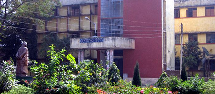
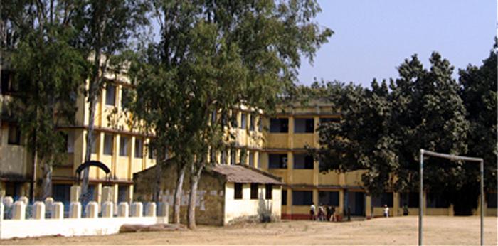
Raghunathpur
Tehsil Raghunathpur, District Purulia, Bengal, Bharat.
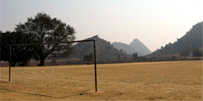
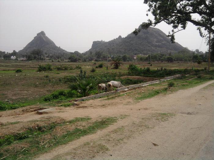
JAICHANDI HILL FEMOUS FOR ROCK CLIMBING.
Wikipedia article: https://en.wikipedia.org/wiki/Raghunathpur,_Purulia
Raghunathpur on the map.


Recent city comments: